GIS Dashboards & Story Maps: Turning Spatial Data into Insight
We live in a world where everything happens somewhere. Geographic Information Systems (GIS) provide the framework for gathering, managing, and analyzing this spatial data. But the true power of GIS lies in its visualization. At Codexal, we transform complex spatial datasets into intuitive dashboards and compelling story maps that drive smarter decisions and clearer narratives.
1. Real-Time Operational Dashboards
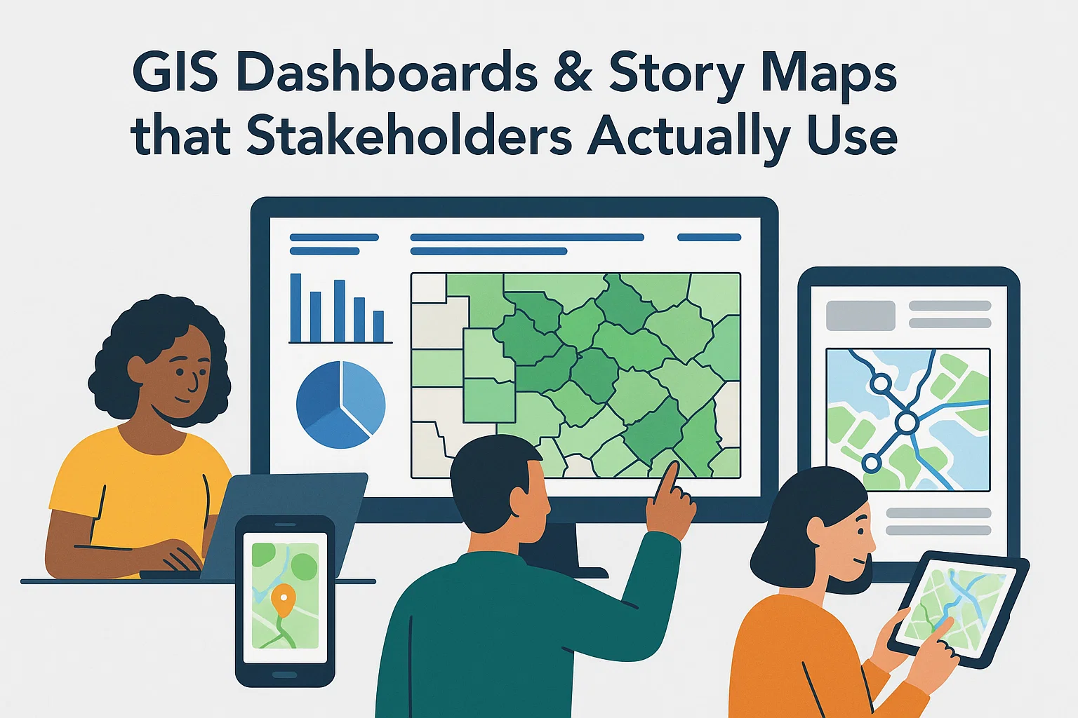
A GIS dashboard is a view of geographic information and data that helps you monitor events or activities. It provides a comprehensive view of your data on a single screen, using charts, gauges, and maps. For urban planners or logistics companies, this means seeing fleet locations, traffic densities, or utility outages in real-time.
Effective dashboard design follows the same principles as Mobile UX Design—minimizing clutter to highlight critical "Situational Awareness" metrics.
2. Narrative Story Maps for Public Outreach
While dashboards are for monitoring, Story Maps are for telling. They combine interactive maps with multimedia—photos, videos, and narrative text—to guide a user through a spatial journey. Whether you are showcasing architectural progress, environmental changes, or heritage sites, story maps turn clinical data into a human experience.
3. Choosing the Right Technology Stack
The "Best" GIS stack depends on your data volume and audience:
- ArcGIS Online: The industry standard for enterprise-grade management and out-of-the-box configuration.
- Mapbox GL JS: Excellent for bespoke, high-performance web maps with deep customization.
- Leaflet & OpenLayers: Light-weight, open-source alternatives for simpler web integrations.
Integrating these maps into larger Cloud Transformation strategies ensure they are scalable and accessible globally.
4. Ensuring Data Quality and Accuracy
A beautiful map is dangerous if the underlying data is flawed. Our approach involves rigorous data cleaning and geocoding. We use OCR and AI tools to extract location data from legacy documents and digitize them into spatial databases like PostGIS or ArcGIS Enterprise.
Conclusion: The Power of Place
GIS is more than just maps; it’s a way of understanding the relationships between people, places, and assets. By making this information visual and interactive, you empower your organization to see patterns that would be invisible in a spreadsheet. At Codexal, we map the future.
Ready to unlock your spatial potential? Explore our GIS & Data Services or contact us for a consultation on your next mapping project.